NDVI Observations 2017-2021
Digital Earth Australia (DEA) is a platform that uses spatial data and images recorded by satellites orbiting our planet to detect physical changes across Australia in unprecedented detail.
Working in collaboration with Mick Green of Drift Media, we were able to create farm observation models.
Sentinel2
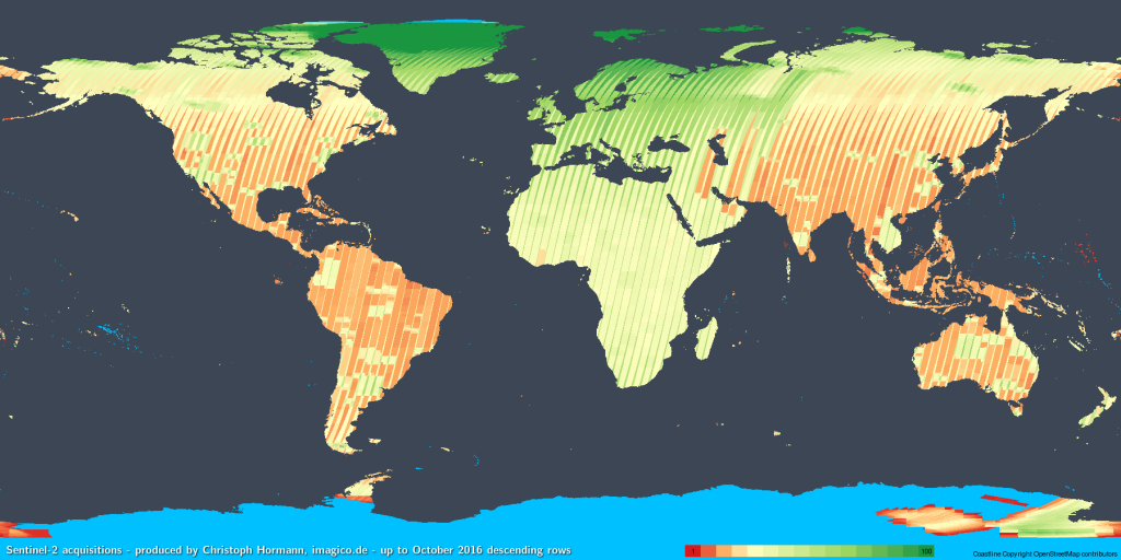
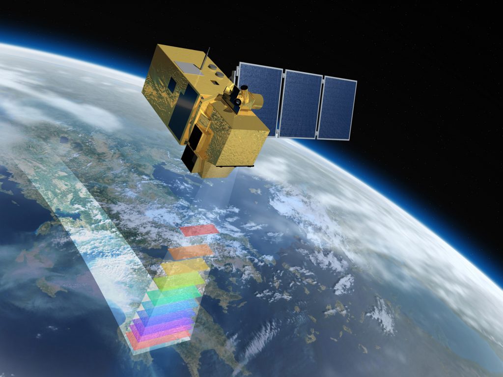
Sentinel-2 is an Earth observation mission from the EU Copernicus Programme that systematically captures imagery at high spatial resolution (up to 10 m for some bands). The mission is based on a constellation of two identical satellites in the same orbit, 180° apart for optimal coverage and data delivery. Together, they cover all Earth’s land surfaces, large islands, inland and coastal waters every 3-5 days.
Both of the Sentinel-2 satellites carry an innovative wide swath high-resolution multispectral imager with 13 spectral bands.
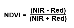
This demonstration profiles the use of 2 of these 13 bands-
Band 4 (Red) and Band 8 (Near Infra Red)
to create a Normalized Difference Vegetation Index (NDVI) image.
Why NDVI?
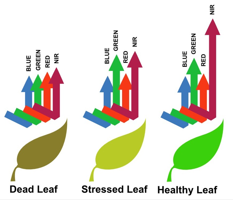
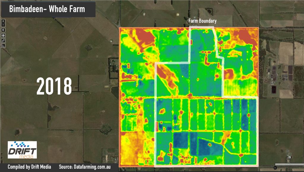
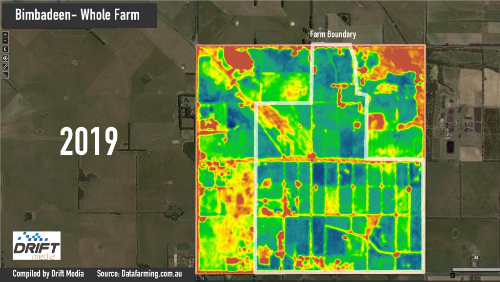
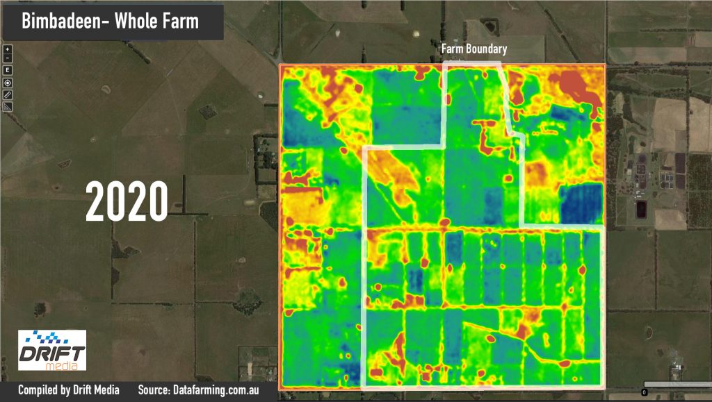
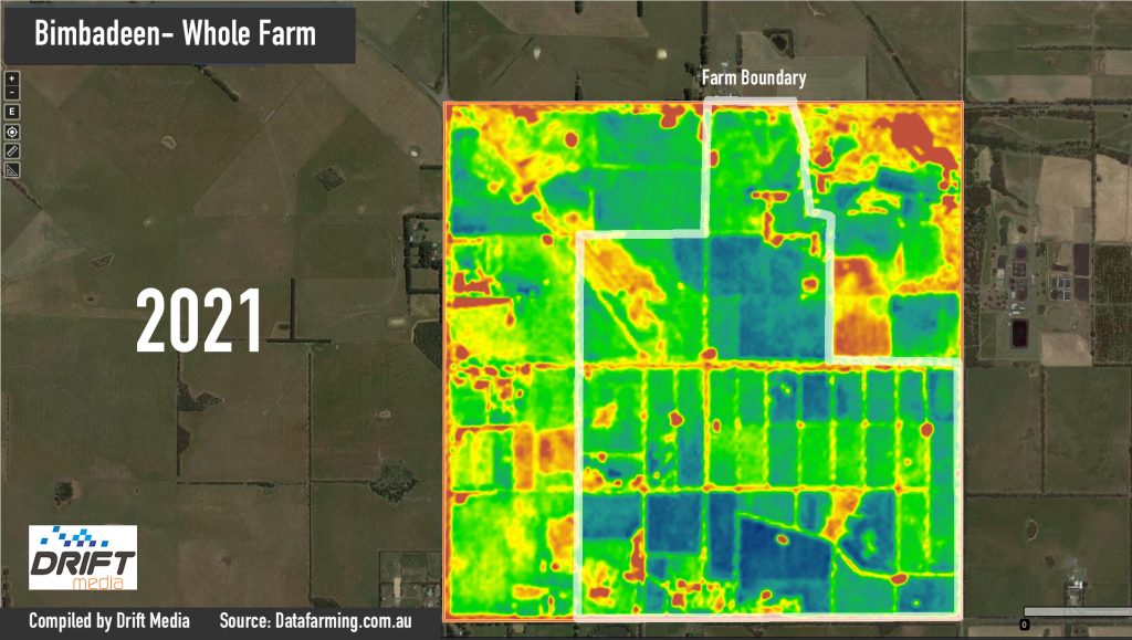
An NDVI image can distinguish areas of the field where a crop is growing well from those where it is not, enabling zones to be created to target the right amount of fertilizer application to each spot on the field. It can also be used to gauge relative plant and paddock “health”.
Due to the way the plant reacts to stresses, an NDVI image can also reveal the presence of weeds, pests, water damage
Whole Farm Observations

2018-21 Comparison
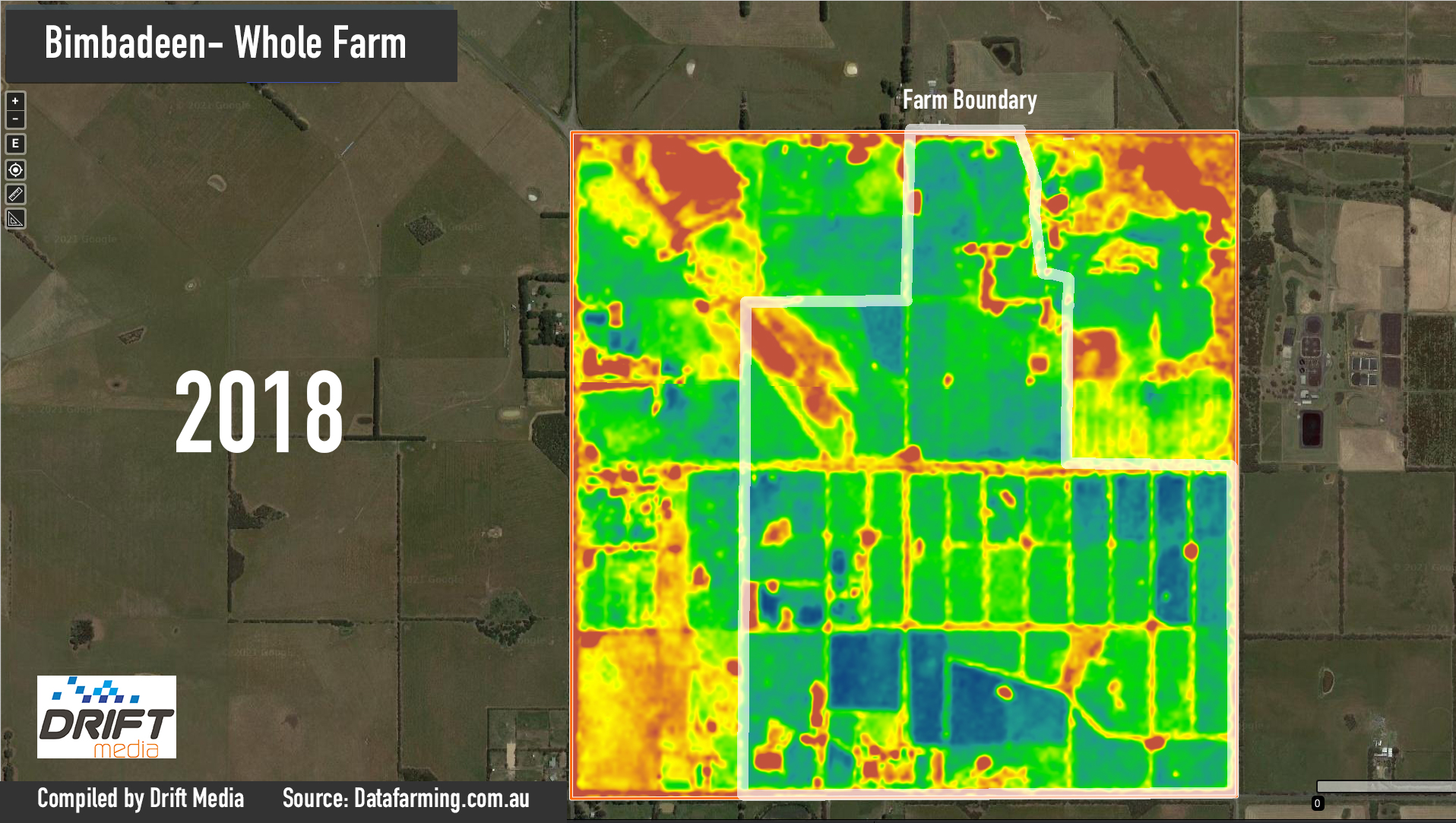
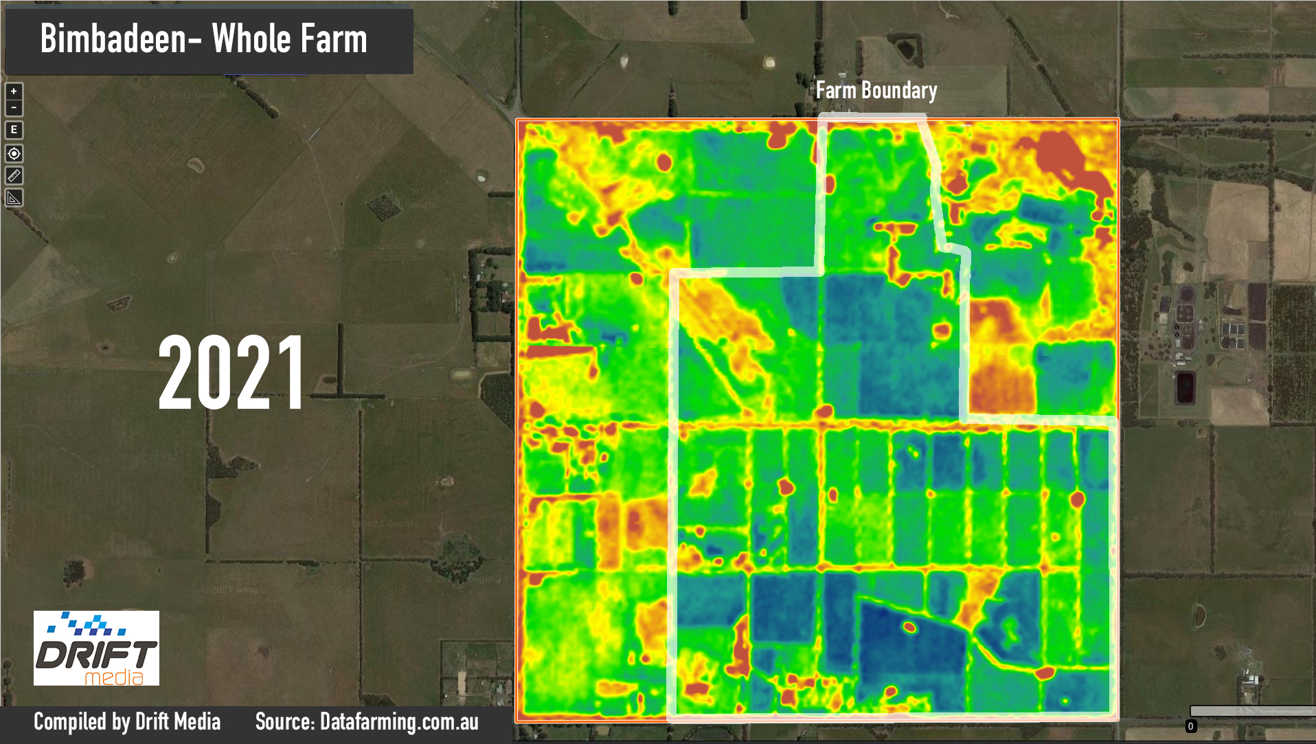
Yearly Observations were taken in July of each year. To access each year, please click on the images below.
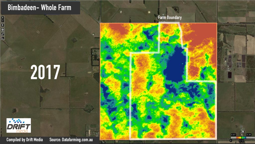
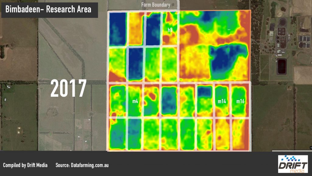
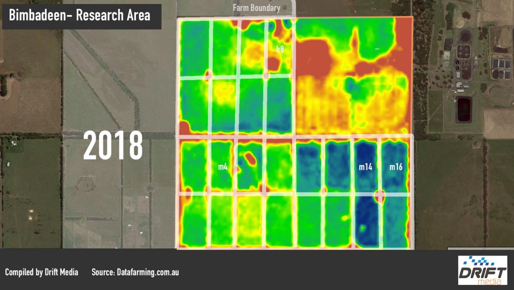
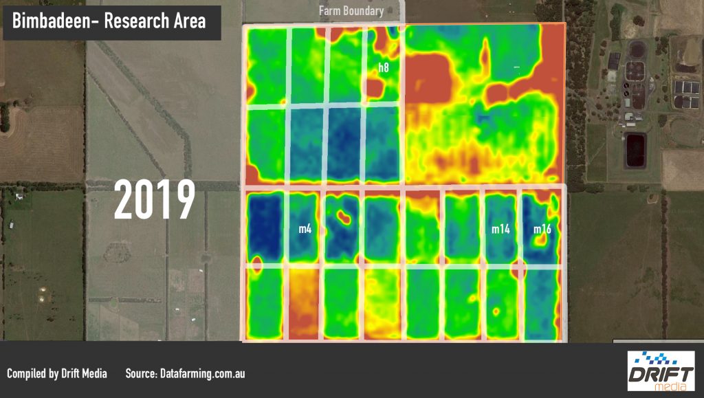
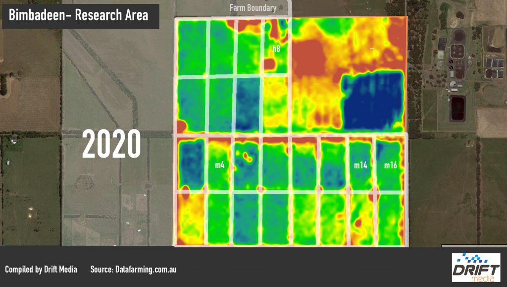
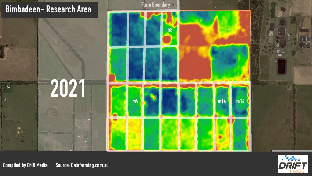
Research Area
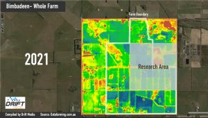
A more in depth observation called Research Area was also created.
This focussed on the following paddocks:
- h8
- m4
- m14
- m16
where various carbon capture treatments and methodologies had been practiced.
2018-21 Comparison


Yearly Observations of the Research Area were taken in July of each year. To access each year, please click on the images below.
